· 2 min read
Drones & AI Vision for Precision Agriculture.
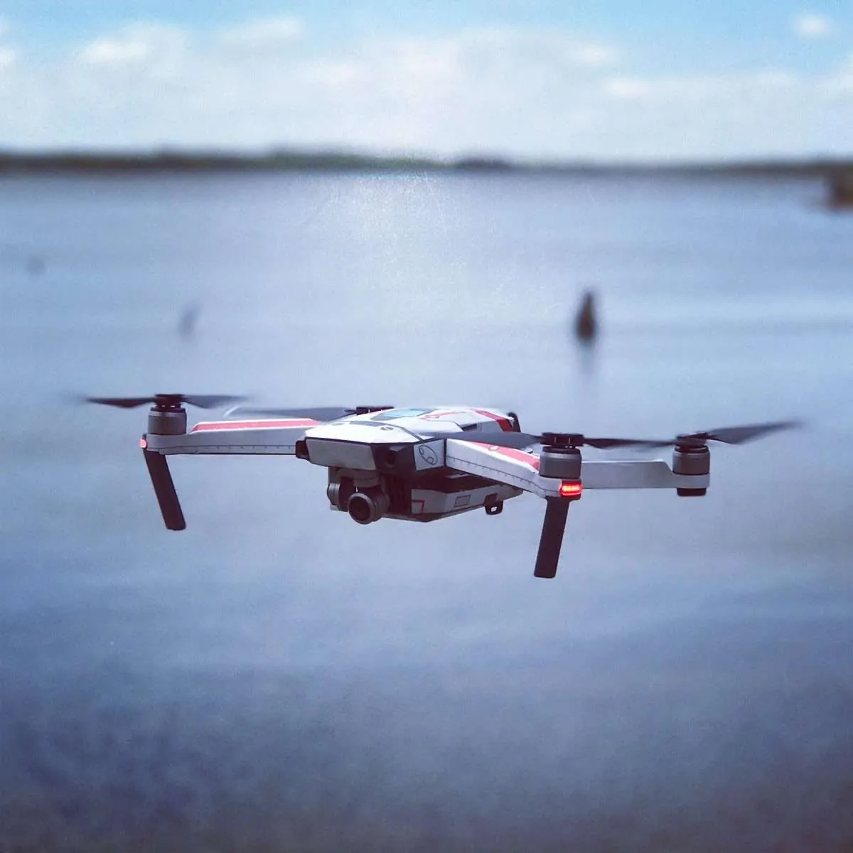
Drones equipped with multispectral cameras and AI vision systems are transforming precision agriculture — enabling autonomous crop monitoring, early disease detection, and targeted intervention at a scale and speed that ground-based methods cannot match.
System components
A complete AI drone system for precision agriculture combines three integrated layers — the aerial platform, the vision hardware, and the AI analysis engine.
- 01
Drone platform
Multirotor or fixed-wing depending on area Extended battery life for large fields Payload: cameras, LiDAR, environmental sensors Autonomous flight planning and GPS precision
- 02
Vision systems
Multispectral & hyperspectral cameras High-resolution RGB for visual inspection Thermal imaging for water stress detection LiDAR for 3D terrain and canopy mapping
- 03
AI & analytics
CNN models for crop disease classification Segmentation for field zone mapping Integration with Farm Management Systems Automated intervention recommendations
Operational workflow
A complete drone monitoring operation follows four stages — from pre-flight planning to autonomous AI-driven intervention.
- Mission planning Define the monitoring area, flight path, altitude, and camera overlap based on crop type and monitoring objectives. Automated planning tools optimise coverage for maximum data quality.
- 1
- Mission planning Define the monitoring area, flight path, altitude, and camera overlap based on crop type and monitoring objectives. Automated planning tools optimise coverage for maximum data quality.
- Data acquisition The drone flies autonomously, collecting multispectral images and environmental data simultaneously. GPS-tagged imagery ensures precise geolocation of every data point.
- 2
- Data acquisition The drone flies autonomously, collecting multispectral images and environmental data simultaneously. GPS-tagged imagery ensures precise geolocation of every data point.
- Real-time or post-flight processing Computer vision algorithms process imagery to identify anomalies, stress areas, disease patterns, and nutrient deficiencies — generating field maps with problem zones highlighted.
- 3
- Real-time or post-flight processing Computer vision algorithms process imagery to identify anomalies, stress areas, disease patterns, and nutrient deficiencies — generating field maps with problem zones highlighted.
- AI decision and intervention AI agents interpret results and trigger targeted interventions — variable-rate irrigation, precision fertilisation, or phytosanitary treatment — automatically or with operator confirmation.
- 4
- AI decision and intervention AI agents interpret results and trigger targeted interventions — variable-rate irrigation, precision fertilisation, or phytosanitary treatment — automatically or with operator confirmation.
AI drone system with autonomous decision-making — analysing multispectral data, identifying crop stress zones, and triggering targeted precision interventions without human intervention.
Benefits for precision agriculture
Early disease and pest detection — weeks before visible symptoms appear, reducing crop loss
Reduced input costs — targeted irrigation and fertilisation only where needed
Large-area coverage — hundreds of hectares inspected in hours vs days on foot
Objective data — consistent analysis free from human observation variability
Historical tracking — repeated flights build crop health trends over time
Autonomous intervention — AI triggers actions without waiting for human review
Technical considerations
- 01
High-speed data processing
Multispectral imagery generates large data volumes. Edge computing on the drone reduces latency for real-time decisions; cloud processing handles deep analytics and historical comparison.
- 02
Model reliability and accuracy
AI models must be continuously trained on diverse, updated datasets — covering different crop varieties, seasons, lighting conditions, and regional disease patterns.
- 03
Integration with existing systems
Compatibility with Farm Management Systems (FMS), IoT irrigation networks, and existing agricultural equipment is essential for actionable automation.
- 04
Regulations and safety
Drone operations must comply with national and EU aviation regulations (EASA) — including flight permits, no-fly zones, operator certification, and data privacy requirements.
- 01
System specs
Platforms Multi / Fixed Cameras Multi + RGB + IR AI models CNN / Deep Processing Edge + Cloud Integration FMS / IoT
- 02
Related guides
AGV autonomous navigation Robotics and vision Smart factory guide
Related reading
More guides on AI vision, robotics, and autonomous systems.
Guide · Robotics AI-Powered AGV Navigation: Stereo Vision, LiDAR & ROS Read more
Guide · Energy Vision Systems for Photovoltaic Panel Inspection Read more
Guide · Robotics Computer Vision, AI & Robotics: The New Automation Read more